
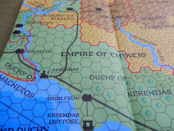
“From the northern reaches of Vestland to Thyatis, and as far east as the mighty Isle of Dawn, TM2 picks up where TM1 ended. TM2 shows the eastern D&D Game Known World and brings new facts about traveling costs, rates of exchange, universities, geopolitical intelligence, and more!
All this comes in 8-miles per hex Gazetteer style, on an impressive 36″ by 57″, highly detailed, full-color map.”
The Known World of Dungeons & Dragons was detailed in a series of Gazetteers. Later – early 90s – the classic campaign setting would be known as Mystara.
The Eastern Countries Trail Map (TM2)
1989 … TSR 9404 … ISBN 0880387831


EDIT Oct 2019
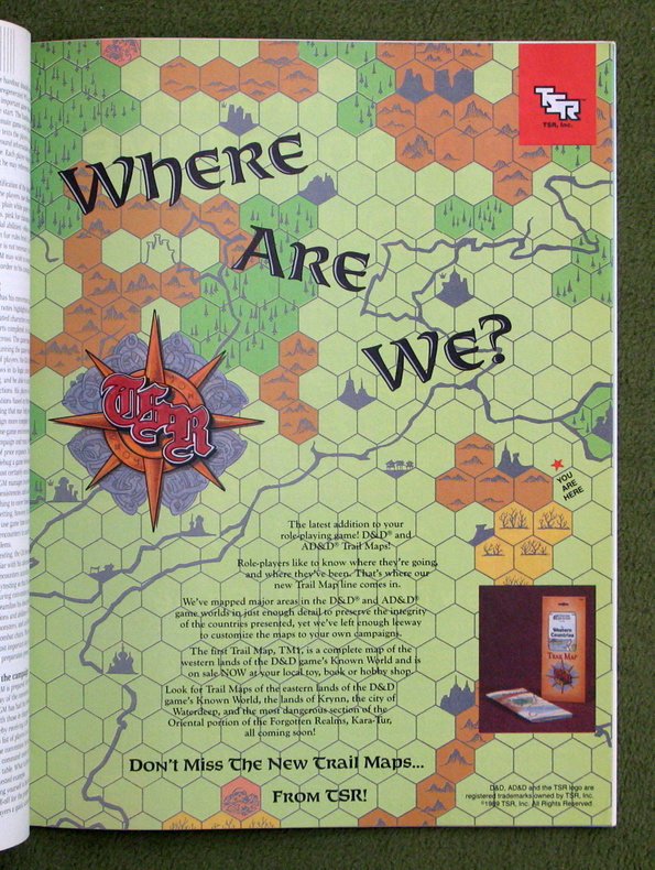
I found an eye-catching ad in Dragon Magazine #149 (Sept 1989) showcasing their Trail Maps.
See Also:
Reblogged this on DDOCentral.
So, is this supposed to be a map of Mystara?
Part of it, yes